Introduction

What is ArcGIS?

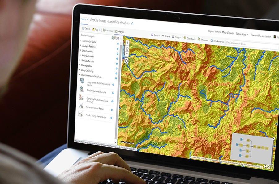
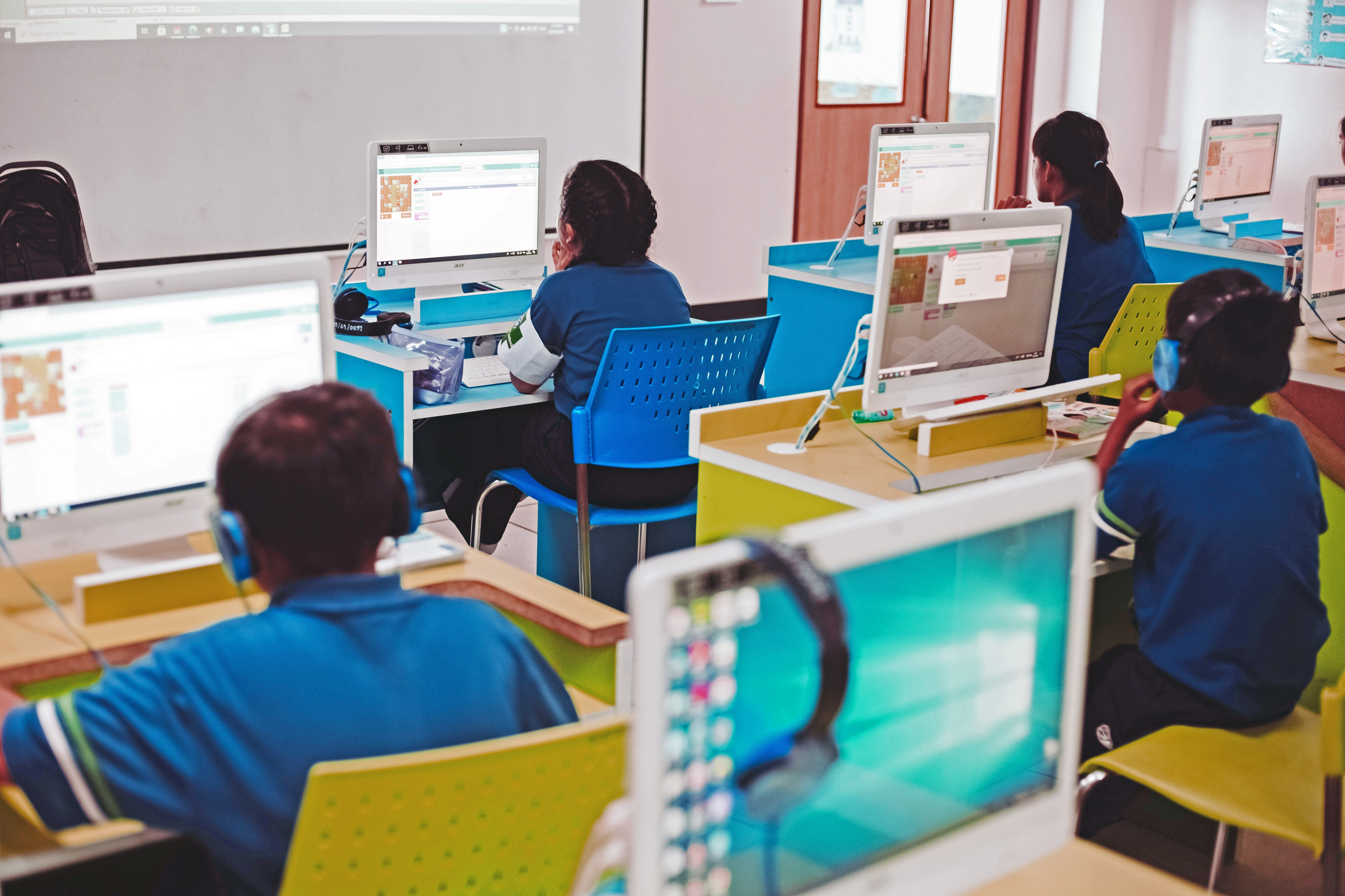
ArcGIS Online is a website tool used to make interactive maps in a fun, easy way. It is highly accessible for high school and middle school students, and aims to help young learners share and create maps about topics relevant to them.

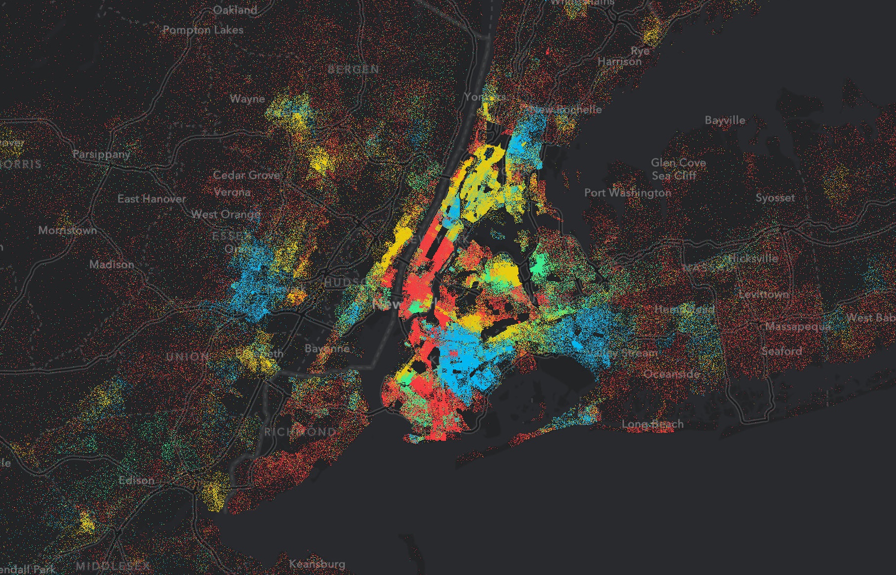
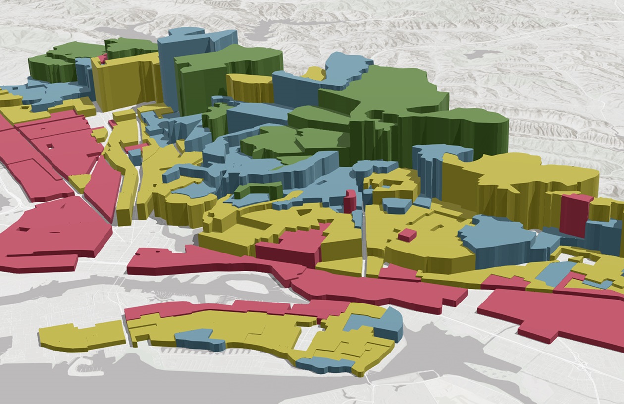
In Geography, gathering data about a place is only one part of the process. This data has a lot to tell us about the relationship between people, their communities, and the planet. To unearth these answers, we must use the method geographers have been using for centuries to tackle just such inquiries - mapping!

For this task, the FGA recommends ArcGIS Online. This versatile tool for online mapping and cartography has many benefits, including a wide variety of available standards-meeting curriculum and free accounts for K-12 schools.


Image

What is a StoryMap?

An ArcGIS StoryMap is an interactive presentation that allows you to tell a story using maps, images, audio, videos and text. This companion tool to the mapmaker allows students to pull all the information they have gathered into a fully fleshed-out narrative.

To get a feel for how these tools can be used in the classroom, check out our favorite examples below:

  • The Living Land: A look at how humans use the Earth's limited land space.

  • For the Birds: An immersive story introducing readers to the Alaska Landbird Monitoring Survey: a collaborative, standardized survey for monitoring breeding bird populations across Alaska.

  • The Deep: Caladan Oceanic is on a series of expeditions to explore and map the deepest parts of our oceans in unprecedented ways. These stories chronicle their discoveries.

  • Coastal Flooding: How coastal communities are being impacted by sea level rise and the data that can help.
The Basics of Online Mapping

This accessible, two-part lesson is designed to get teachers up and running with ArcGIS for the classroom in no time. If you have never used ArcGIS before, begin with the presentations below.

You do not need an ArcGIS account to follow these tutorials, but if you would like one for use in your classroom feel free to email us at flgeoalliance@gmail.com.


Online Mapping: Beginner's Workshop

Florida Geographic Alliance

Part one of the beginner's ArcGIS workshop, this lesson covers all the tools you'll need to create easy interactive maps for the classroom.

Download PDF

StoryMap Tutorial for Students and Teachers

Florida Geographic Alliance

Part two of the beginner's ArcGIS workshop. This lesson covers StoryMaps - a presentation tool for combining your map with text, audio, video and more.

Download PDF

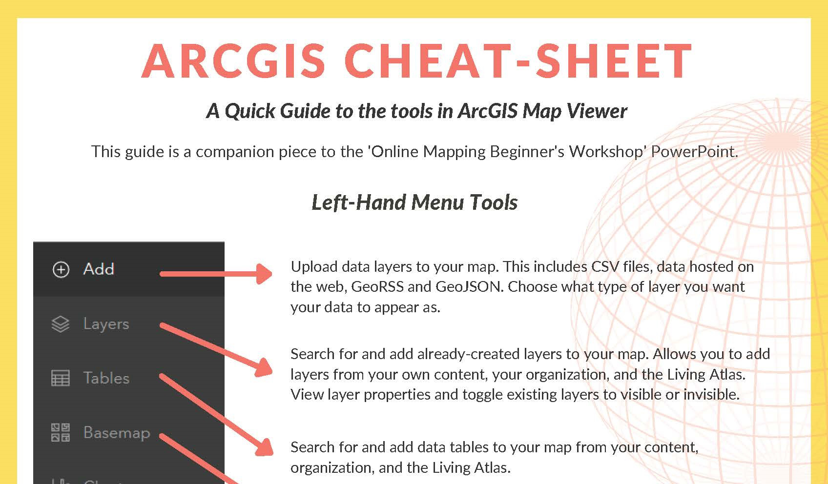
ArcGIS Cheat Sheet

Florida Geographic Alliance

This cheat sheet offers a quick guide to all the buttons and menus in ArcGIS Map Viewer. A great resource to keep on hand while learning the tools!

Download PDF
...

Classroom Visits

The FGA offers special school visits with experts to take your class through lessons in ArcGIS. These visits are recommended for middle and high school. Our team also offers one-on-one zoom calls to help teachers set up their ArcGIS accounts.

Send us an email to learn more:


ArcGIS Resources

ArcGIS for the Classroom

ESRI, the company behind ArcGIS, provides free instructional resources for getting started and going farther with online mapping. These are available for a variety of subjects to enhance inquiry-based learning for students. Materials for ArcGIS Online require no installations or logins and work well on any connected computer, laptop, or tablet:

Free School Account

ESRI ArcGIS

The ArcGIS for Schools Bundle is available at no cost for instructional use to individual US K–12 schools, school districts, and states direct from Esri.

Read More

GeoInquiries

ESRI ArcGIS

GeoInquiries™ are short, standards-based inquiry activities for teaching map-based content found in commonly used textbooks.

Read More

Teach with GIS

ESRI ArcGIS

A hub of materials designed for educators with little-to-no GIS experience who want to add interactive tools to enhance their teaching across the curriculum.

Read More

Lesson Gallery

ESRI ArcGIS

These guided interactive learning applications give students the chance to work with maps and data on their own.

Read More

Living Atlas of the World

ESRI ArcGIS

This database from ArcGIS has open-source map data on all subjects, from all over the world.

Read More

What is GIS?

ESRI ArcGIS

Read this easily digestible overview of everything GIS - what is is, how it's used, and how it works.

Read More

Get In Touch

Address

The Florida Geographic Alliance
C6140 UCC
296 Champions Way
Florida State University
Tallahassee, FL 32306-2641

Email

flgeoalliance@gmail.com

Phone

(850) 644-2007

Newsletter

* indicates required


© Florida Geographic Alliance. All Rights Reserved. Designed by HTML Codex
Distributed By: ThemeWagon